Neelakurinji, the flower that blooms once in 12 years is the current topic in social media among travellers. The blossoms can be witnessed in Ooty (Tamil Nadu), Munnar (Kerala) and Coorg (Karnataka) at different times. This August, it has bloomed in Namma Karnataka, in particular a place called Mandalapatti in Coorg District.

Madikkeri is a 5 hour drive from Bangalore & we decided to make it a day trip as we had already visited most of the places in Coorg/Madikeri. The catch is that there is a weekend curfew in-place in Madikkeri, so we had to visit on a weekday.
On a Monday morning, we started around 4 am from home, took the deserted Mysore road to reach Mysore Ring Road in just more than 2 hours. The road to Madikkeri slowed us down, but still we managed to reach the Jeep-stand by 9:15 am. It is the junction where 1 road leads to Abbi falls & the other to Mandalapatti.


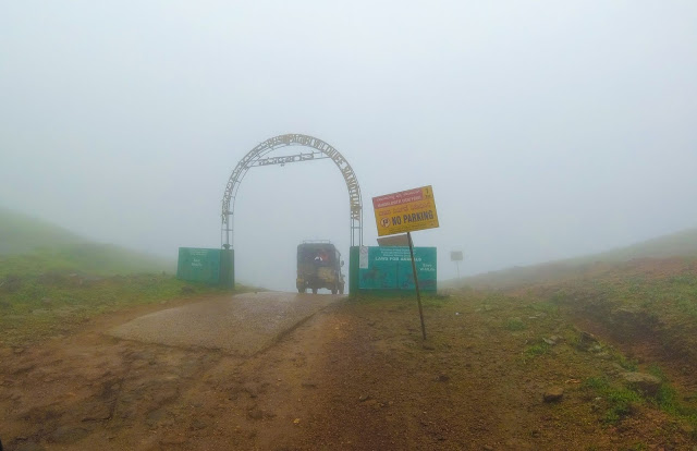
Mandalapatti peak is 15 Kms from that junction. After some discussion, we decided to take a jeep from that point itself to Mandalapatti. We could see that it had rained.
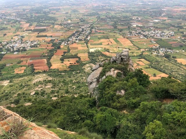
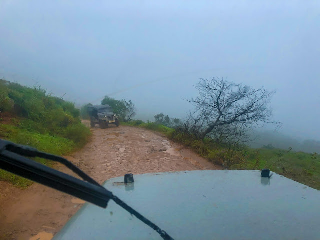
As we continued our journey in the jeep, we could feel the mist that made us half wet. The clouds were dark & it was foggy that we couldn’t see the surrounding places clearly. The road was narrow with mostly 4x4 jeeps plying with tourists; however private vehicles also can be driven on this route.
On the way, there was a check-post where we need to buy entry ticket (per head) and they checked our bags for any plastic covers. We crossed a place where private vehicles can be parked and jeep service can be taken. From here the roads are bad & suitable only for 4x4 vehicles. We also saw some people riding their 2-wheelers beyond this point. A lot were seen walking from this point as the distance from here to the peak was 1-2 Kms (I guess, not sure).
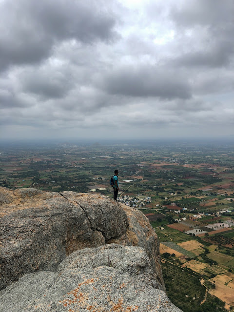
The off-road experience begins from this point onward that too with the rain pouring. In a short time, the jeep driver reached the final parking spot of Mandalapatti peak; a short walk from here will take you to the peak/view point.

As it started raining again, we took shelter nearby. Initially we could not see anything but a huge tree similar to that seen in horror movies.


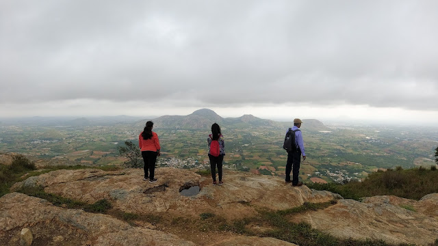
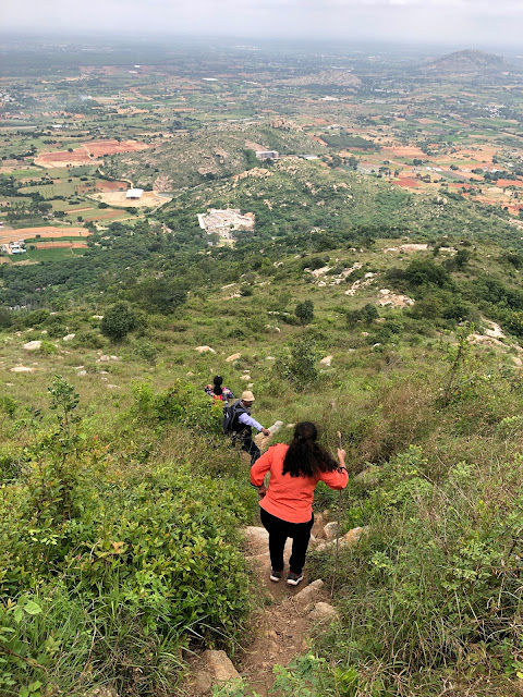
We followed other tourists to the peak, on the way enjoying the Neelakurinji blooms. We spent some time there taking photos. Again as it started raining heavily with strong winds, we returned back to the parking spot, where our jeep was waiting.


On the way back, as the weather was becoming clear, we spent some time around the blooms to see the valley & take some pictures for our album. We took extra care not to damage the plants/flowers. The jeep then drove us back through the off-road & finally reached our starting point around 12pm.


We decided to go into the town for lunch for some Coorgi cuisine. After lunch we started to Bangalore by 1:30 pm. Later as Google Maps suggested, we took a deviation at Kushalnagar to join NH75 to reach Bangalore. This route was faster than the regular Mysore Road route and we reached home by 6:45pm for a nice sip of tea.


Two down and eagerly waiting for Kerala’s blooming season.
Travel Tip: Do carry a good rain-wear. Umbrellas are of no use and will get damaged at the peak due to strong wind. And a kind request to the visitors not to pluck the flowers/plants. We saw a few taking back a bunch of plants.😠
Route taken:
Bangalore-Mysore-Hunsur-Kushalnagar-Madikkeri-Mandalappati: 276 Kms
Mandalappati-Madikkeri- Kushalnagar-Channarayapattana-Nelamangala-Bangalore: 286 Kms
For more of my travel stories, do visit My Wanderlust Experiences