There are a lot of hills in and around Tumkur area to climb on. Having completed the well-known Madhugiri & Siddhara Betta, it was time to explore the Channarayana Durga Fort on this Karnataka Rajyotsava day.
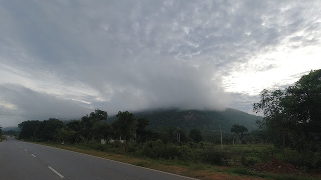
Leaving early from home and after a light breakfast on the way, we managed to reach the village at the base by 7:30 am. We followed Google maps to reach near the Trek Start point and parked our vehicle on the road. We walked inside the village for some 100 meters to reach the base of the hill where there is a small temple. As we reached the base, few local guides were ready to accompany us.
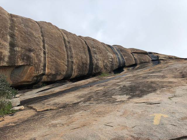
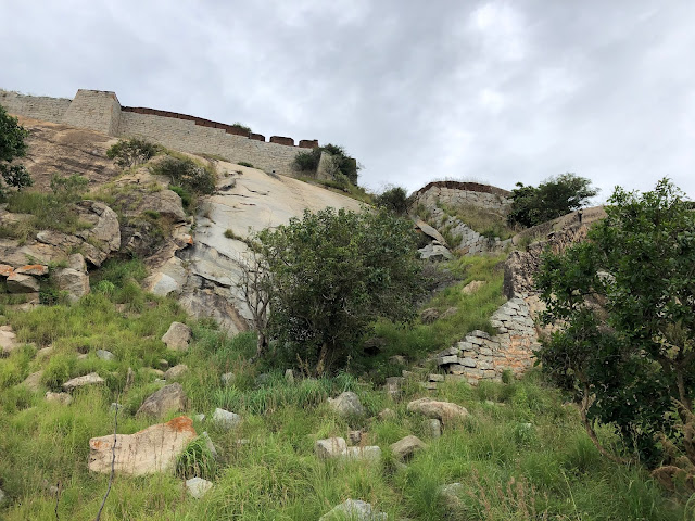
We started climbing the huge rocks by 7:45. There were arrows painted/marked for directions to the top. It was a decent climb, but first timers need to be careful as one loose step will slip you down to the base.
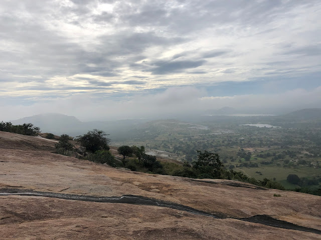
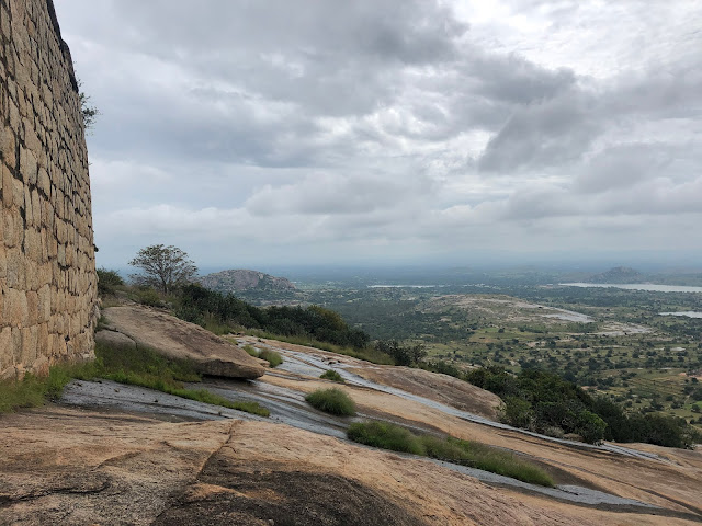
Also there was a thin stream of water flowing over the rocks from the top. As you climb, you can have some beautiful views of the village at the base & the nearby hills.
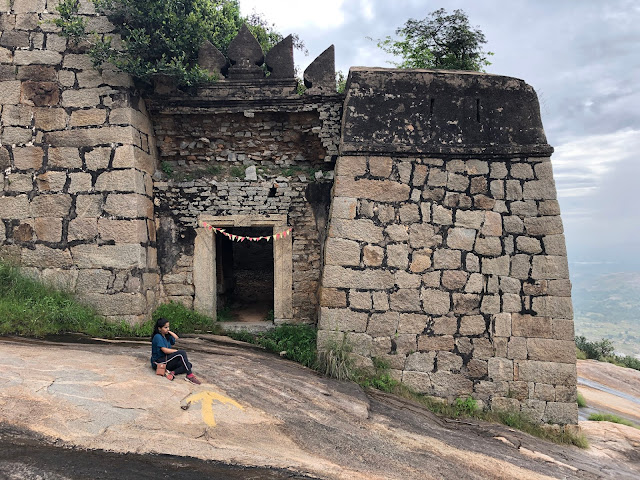
One of the guide was leading & waited for us until we reach the point and we saw some other 3 were resting way above us. We completed the first level (rocky part) leisurely and reached the first entrance gate in 45 mins. We could see some images & inscriptions on few stones on the wall.
As we entered through the gate, we could see a small temple on the right with a small pond in front of it. Also it is now that you can see the top most part of the fort, which is not visible from the base. Some local people were decorating the temple with flags on the event of Rajyotsava. There was no sign of our guide now as we did not encourage them.
After spending some time near the temple/pond, we started our climb on the rock. This one was easier as it was not steep as in the first level. A little walk on the rock leads to another stone entrance. We came across many stone structure on the way that may be used for living/storage purpose.
From here after, the path was normal with some bushes & some stone steps. Climbing along the perimeter of the hill, leads us to the rear end of the top of the hill.
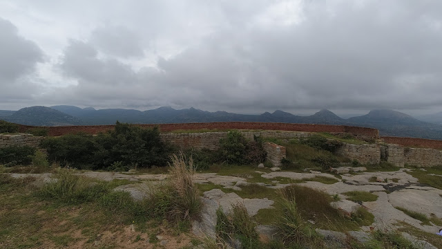
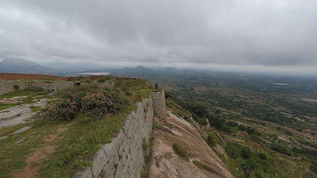
The top of the fort/hill had a perimeter wall made of bricks. The area on top was small and looked like it was used for monitoring purpose only. But the view behind the walls was beautiful on all sides. A small walk through the brick walls will lead us to the front end of the fort that was visible from below. All the 4 guides have already reached the top & were relaxing.
At the top, the cool breeze from all directions tempts one to sit & just relax for hours together. As we were exploring, the same local guys came here too to hoist the Karnataka flag at the topmost point of the hill. We were surprised to see the guides shouting at the guys, for no reason.
As we relaxed on the top for an hour, we started to see dark clouds all around us. So we decided to climb down to avoid any risk on the rocky path; even a slight drizzle would make the rocks slippery. We started to descend down enjoying the scenic landscape.
The dark clouds started to disappear and so did our guides. We assumed that they may be accompanying other trekkers. Finally we reached the base by 11:30 am.
While driving back, we could see the Karnataka Flag flying high in most of the surrounding hills. With a stop for lunch we returned home around 2 pm.
On the whole, the trek can be placed between Easy & Moderate. One can reach the top within 1 hour. First timers need to be careful on the rocks as it can be slippery if your grip is not strong. Carry water/food if you want to spend more time on the top and please make sure you do not litter.
Note: Do not expect any guide to be there, as the local guides that I mentioned were actually local dogs. We also had these guides while trekking Bheema Bakasura & Makalidurga. They are harmless & will show you the right path even if you don’t hire them.
Distance: 117 Kms from Bangalore (Home)
Location: https://goo.gl/maps/Lmrde8jBDi7f7jeF7
For my other travel stories, please visit: My Wanderlust Experiences

