Friday, October 2, 2020

Day Trip to Avalabetta & Gudibanda Fort

Part 1: Avalabetta

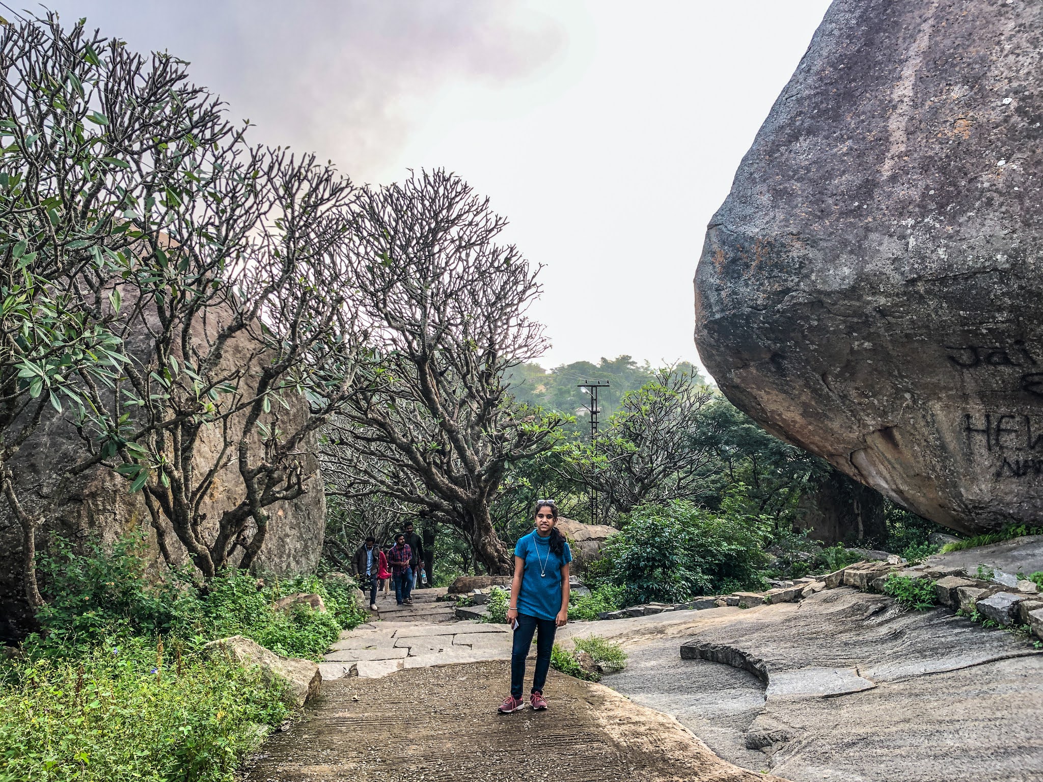
As we planned to visit 2 places today, we left home at 5:40 am and reached the parking of Avalabetta around 7 am. By then there were many bikes & cars parked. Vehicles were not allowed till the base, so we had to walk to the base of the hill. However, that was an enjoyable walk with some steps, some rocks & across the hair-pin bend roads and a lot of greenery around.

We started the climb to the temple through the steps. As we proceeded, the view was nice with some nice picturesque locations. In a short time we reached the main temple that was obviously closed at that time. To the left of the temple, there was a way going further to the top. We took that way & thought that it would lead to the main attraction of Avalabetta. But there was another small temple on the top & a huge triangular rock. You can even climb the rock through man-made steps/grips.

We came back to the main temple & when asked about the main attraction, one person told us to go towards the right side of the temple. The path as usual had some great views of the surroundings. It also had a small water body that gave us some good pictures. 

We reached the so called Beak-Rock & there were already people lined up to take pictures. Please see the below pics as there are no words to describe the location. We got our turn for posing pictures as my wife clicked a beautiful picture of my daughter & myself. After spending some time there, we started heading to the base.

On the way back, we had some buttermilk & lemon juice which the local boys were selling. We had some jolly time while coming down clicking pictures & reached the parking around 9:30 am.


One advice is that, to reach as early as possible in order to avoid crowd near the beak-rock.  And beware of monkeys that will snatch & open up your bags, looking for eatables. Better to carry only water. The trek level was so easy that we did it on an empty stomach.


Location: https://goo.gl/maps/JtYuqmcYSx1dGNJC8


Part 2: Gudibanda Fort


We headed for Gudibanda that is around 20 Kms from Avalabetta. After having breakfast, we reached the Fort base where we couldn’t find a parking spot. So we parked my Beast on the main road that was walk able from the fort.

Again after reaching the base, on seeing a lot of steps, my wife asked us to carry on to climb up as she sat under a tree. As the sun was burning at 10:30 am, we carried 2 bottles of water & started the climb. Initially there were steps, then some rocky path & then followed by steps again. 

However there was shade all along the path that made the climb easier. Cool breeze welcomed us at many places that made us forget the heat. All along the way the view was wonderful.

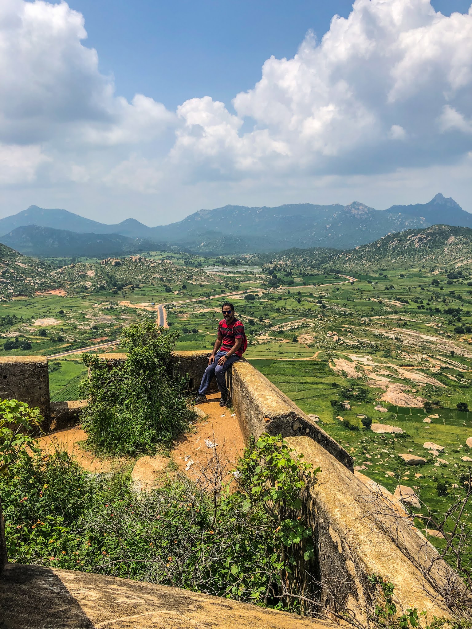
Finally we reached the top to find the temple. It took around 30 minutes for us to reach the top. I called up my wife & we waved up to her from the top as she could see us from the base. We walked through the perimeter at the top. The view was awesome from all sides. There were many spots to sit & relax at the top. One such group was sleeping in the shade.

After exploring all the places around and taking a few pictures, we started our way down. We reached the base around 12:30 pm and headed back to Bangalore.


Location: https://goo.gl/maps/KKw37VVPGp7kyQED9


Distance travelled:

Bangalore to Avalabetta: 105 Kms

Avalabetta to Gudibanda Fort: 20 Kms

Gudibanda Fort to Bangalore: 105 Kms


Do visit "My WanderLust Experiences" to read my other blogs.


Sunday, September 27, 2020

Huthridurga Trek

 
This place is known for viewing sunrise and people used to trek at night to see that. Huthridurga/ Huthri Betta, as it is called is situated 3 Kms from Huthri village.

We decided to explore it in day-time first instead of taking chances at night. So my friend & I started early on a Sunday morning from Bangalore. We took the Hassan road from Nelamangala and followed Google Maps. After having hot Thatte Idli on the way, we took the Kunigal-Magadi road as navigated by Google. To our surprise, road construction work was going on & was dug up for about 5 Kms. We managed to drive through because of our SUV. We drove through some beautiful villages.

Finally we reached the arch saying “Welcome to Huthridurga Hill Station”. Further driving inside the arch, we went through some hair pin bends above a hill. Road work was going on there too. When you reach the top, you’ll be surprised to see a small village of around 20-30 houses there. Parking the car was an issue there. Either you have to park it in a ground behind one temple or at the entrance of the village. We parked it behind the temple as suggested by a local there, where few bikes & cars were already parked. The time was around 8 am.
The foot hill is just a few meters from the village. We reached there in no time and it seemed like some sort of fort with multiple levels of stone walls at different altitudes. As read in the internet about this place, we have to cross 5-6 doorways to reach the top of the hill. That almost coincided with the number of stone walls seen from the base.
Initially, the path was straight forward as we crossed a couple of doorways. Then the rocks had the old steps etched on it and work was progressing on machine-cutting of new steps and fitment of railings. Later the direction to move forward was marked by arrows on the stones, which led us to some single paths into the bushes. In some places the bushes were high enough to hide yourself.
After climbing for some 40 mins., we reached a point where we could see the temple on our right side. The left path leads to the sunrise point. We took the right path to the temple first. A small climb to reach the temple & the view was awesome from the top & dangerous too. 
Spending some time there, we proceeded towards the sunrise point, which was in the adjacent hill. On the way, there was a view point worth spending some time. We took some pics there & continued our walk.
The path took us behind a huge rock with some steps going down; this was an ultimate place to spend some time. It was cool at that stretch & looked like a jungle. After following the arrows & climbing some rocks we reached the so-called sunrise point. The spot was nice there to take some cool pictures. As we spent some time there, we imagined how sunrise will look like from there.
 

We retraced back the same path following the arrows, climbing the rocks, into the bushes & doorways and finally reached the base around 11 am. Looking at the hill from the parking, we decided to come back to see the sunrise. We then headed back to Bangalore after a break for lunch.

Overall, Huthri betta is one of the less crowded places that you can enjoy especially the greenery after the rains. Just follow the marked arrows. Also there were a bunch of monkeys near the sunrise point, snatching bags that had eatables, so beware.
 
 
Distance traveled: 
Bangalore-Huthridurga-Bangalore: ~200 Kms.
 
Do visit "My WanderLust Experiences" to read my other blogs.